Publikationen
Wissenschaftliche Fachartikel und Konferenzbeiträge der Schweizer Weltatlas-Redaktion in Englischer Sprache.
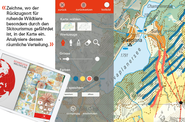
Neue Aufgabenkultur für digitale Kartenarbeit im Schulunterricht mittels mobiler Geräte
Pascal Tschudi (2020).
Präsentation für den 68. Deutschen Kartographie Kongress (EuroCarto2020).
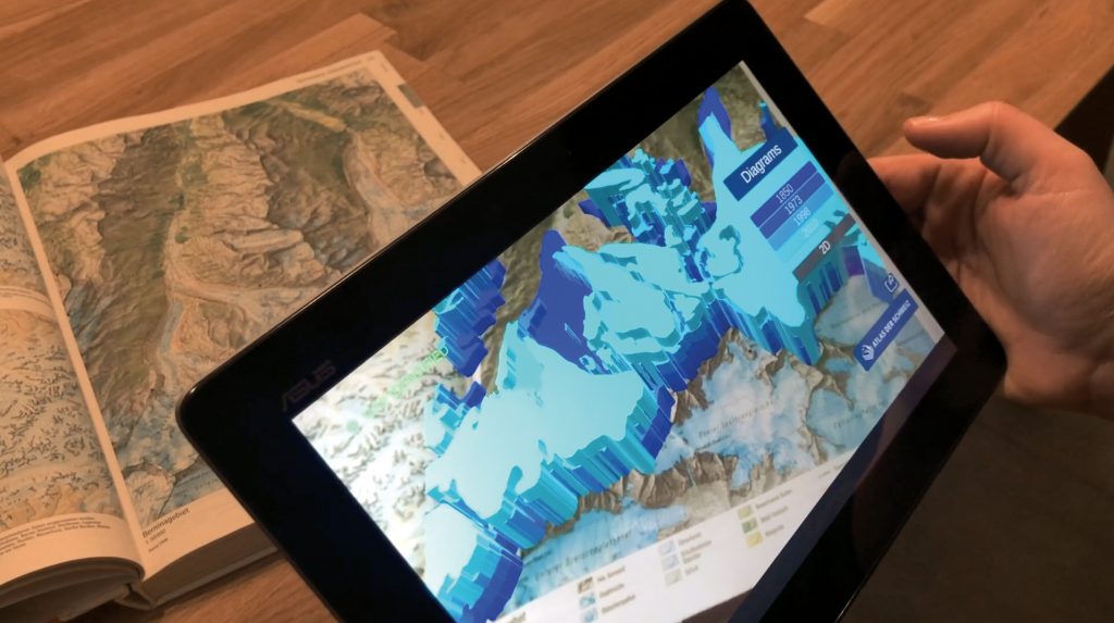
Augmenting Printed School Atlases with Thematic 3D Maps
Raimund Schnürer, Cédric Dind, Stefan Schalcher, Pascal Tschudi and Lorenz Hurni (2020).
In: Multimodal Technologies and Interact. 2020, 4, 23, https://www.mdpi.com/.
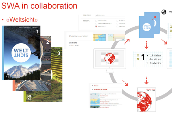
Swiss World Atlas in Class Room – How to teach with maps
Zimmermann W. und Hurni L. (2019).
Präsentation für die International Cartographic Conference in Tokio (Japan)
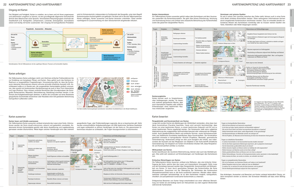
The Introduction Chapter of the Swiss World Atlas 2017 – An Innovative Cartographic Education Tool in Switzerland
Haeberling C., Henggeler K. und Hurni L. (2019).
Präsentation für die International Cartographic Conference in Tokio (Japan)
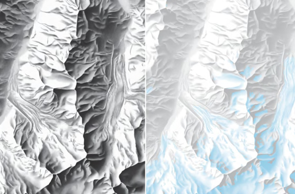
Mountain Maps in the New 2017 Edition Swiss World Atlas
Haeberling C. und Hurni L. (2019).
Proceedings of the 11th ICA Mountain Cartography Workshop, Hvar (Kroatien)
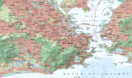
Mapping Urban Areas for Educational Purposes – Concept and Redesign of City Maps in the «Swiss World Atlas».
Zimmermann W. und Hurni L. (2017).
Präsentation für die International Cartographic Conference in Washington DC (USA)
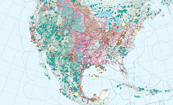
A Novel Generation of Small-Scale Economic Maps for the Swiss World Atlas.
Schenkel R., Koblet T. und Hurni L. (2017).
Präsentation für die International Cartographic Conference in Washington DC (USA)
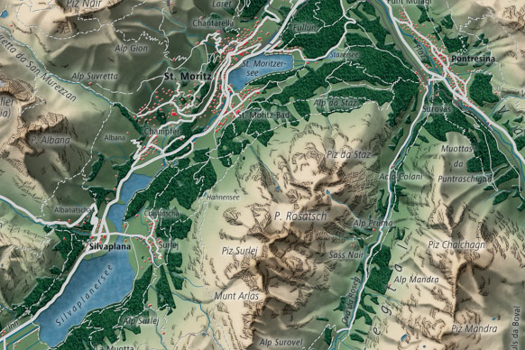
Mountain Maps in School Atlases for Teaching Purposes.
Haeberling, C. (2015).
In: Wiener Schriften zur Geographie und Kartographie, Volume 21, pp. 113-120, Vienna (Austria).
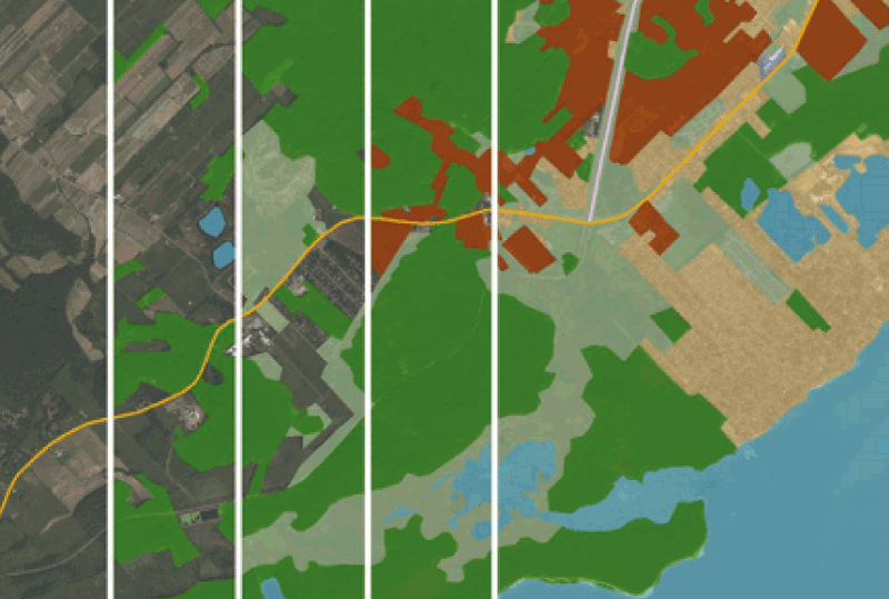
Integrated Map Authoring and Production Processes in Complex Cartographic Cross-media Projects: The SWISS WORLD ATLAS as an Example.
Hurni, L., Schenkel, R., Haeberling, C. and Groetsch, A. (2015).
In: Proceedings of the 27th International Cartographic Conference ICC 2015, Rio de Janeiro (Brazil).
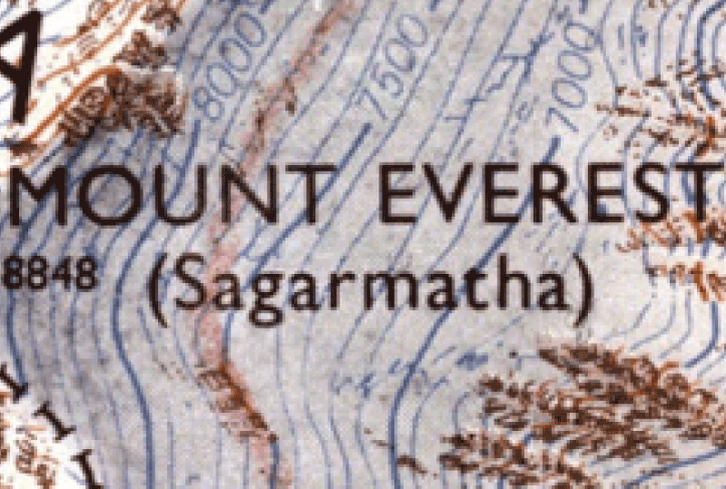
Re-mapping the Cliffs of Mount Everest: Deriving a Synoptic Map from Large-scale Mountain Map Data.
Hurni, L., Tsorlini, A., Lehmann, P., Schenkel, R. and Geisthoevel, R. (2015).
In: Proceedings of the 27th International Cartographic Conference ICC 2015, Rio de Janeiro (Brazil).
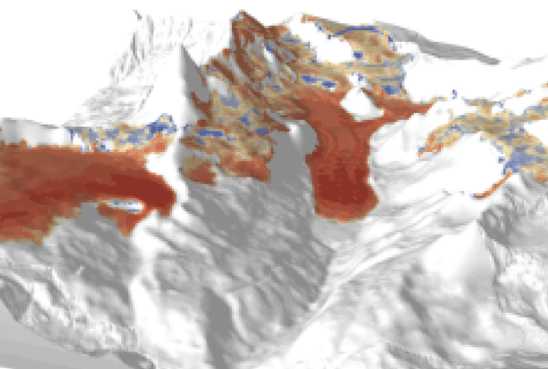
Interactive 3D-Visualisation of Glacier Changes based on the Swiss World Atlas interactive.
Bruengger, A., Wiesmann, S. and Hurni, L. (2013).
In: Proceedings of the 26th International Cartographic Conference ICC 2013, Dresden (Germany).
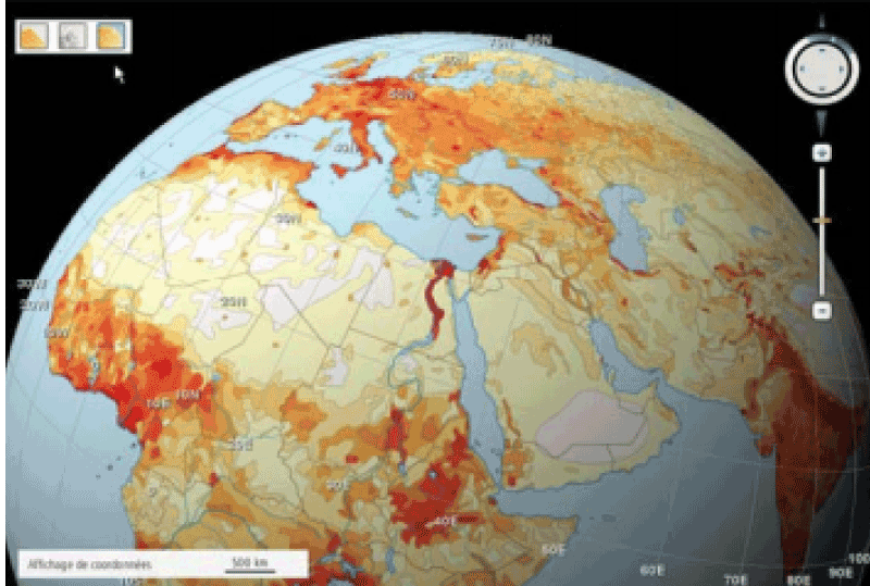
The Web-Based “Swiss World Atlas Interactive”: Evaluation of User Experiences.
Haeberling, C. and Hurni, L. (2013).
In: Proceedings of the 26th International Cartographic Conference ICC 2013, Dresden (Germany).
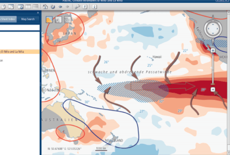
Swiss World Atlas: Development and automated setup of a geographical name index database for cross-media atlas applications.
Koblet, T. and Hurni, L. (2013).
In: Proceedings of the 26th International Cartographic Conference ICC 2013, Dresden (Germany).
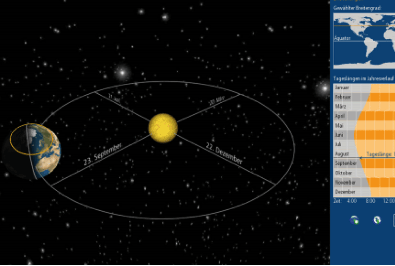
Interactive Solar System Exploration for High School Education.
Wondrak, S. and Hurni, L. (2013).
In: Proceedings of the 26th International Cartographic Conference ICC 2013, Dresden (Germany).
