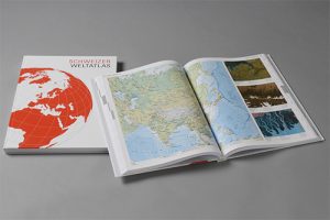
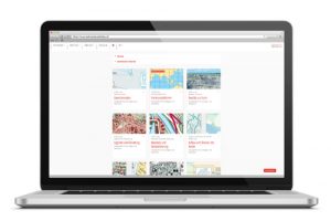
The Swiss World Atlas offers a wide range of additional materials for map work, starting with the printed edition. These can be accessed intuitively via our online world.
Printed Edition
The printed edition of the Swiss World Atlas is a cartographic reference work with over 400 maps, satellite images and other illustrations with a wide variety of geographical topics from all over the world. In addition it is a teaching aid to promote spatial orientation through practical map work in class. The atlas is available in German, French and Italian.
Materials
The online world offers an abundance of valuable teaching and learning materials such as blank maps, map commentaries, didactic explanations, interactive tools and web links. Thus teachers get supported to create vivid and multi-media rich lessons. We are pleased to further suggestions for the expansion of this offer.
Intuitive access
The online world is based on the 430 printed maps and illustrations and thus allows intuitive access to the additional materials. This is done via search masks and filters. You can search by keywords or by map titles, regions and topics. Filters allow additional materials to be displayed by category.


