Printed Edition
The printed edition is structured as follows.
An overview of the most important highlights:
1.
Adapted to the curriculum
The Swiss World Atlas has been adapted to the language-region-specific curricula for secondary schools and the framework curriculum of the Swiss Conference of Cantonal Ministers of Education (EDK) for secondary schools. The skills-oriented perspective required for these curricula is apparent even in the introduction chapter (pages 22–23). The atlas promotes interdisciplinary, joined-up thinking, supports problem-oriented teaching, and makes a vital contribution to education for sustainable development.
2.
Introductory chapter
3.
Economic maps
For the economic maps, the economic power of global urban centres has been calculated and illustrated using a proportionally-sized circle symbol. The most important raw material extraction sites and the intensity of agricultural use (arable land, pastures, etc.) are also shown. Finally, the new economic map of Switzerland includes a more detailed breakdown by economic sector.
4.
Design and navigation aids
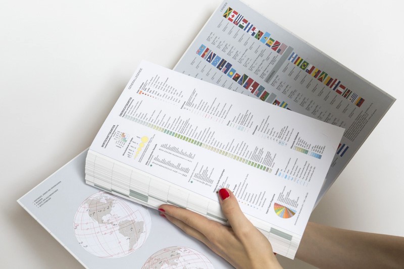
The Swiss World Atlas has a contemporary design. Map formats have been standardised and the layout has been made more appealing. The atlas has been supplemented with a clear contents page and topic list, as well as a comprehensive name and subject index. The 256-page book is rounded out with an attractively designed country overview, complete with national flags. The Swiss World Atlas has also been updated with handy navigation aids like side tabs and a fold-out general key, providing a clear overview of the atlas’ content while making it easy to use.
5.
Topical issues
Many maps deal with topical issues such as the environment, energy, natural hazards and conflicts. The atlas’ traditional relief maps have been supplemented with high-resolution satellite images of typical landscapes. New, descriptive infographics, profiles and points of view have also been included on certain complex geographical issues.
6.
Proven Content
Featuring over 430 maps and images, the Swiss World Atlas offers a global picture of our Earth. Uniform overview maps on the topography, political structure and economic status of countries, major regions and continents allow users to compare different geographical areas with ease. The atlas also allows readers to create mental connections between different aspects of various topics. Finally, this comprehensive overall view of the world is rounded out by themed maps on climate, geology and population density.
7.
Exemplary approach
Using large-scale, detailed maps of specific regions and cities, the atlas adopts an exemplary approach in highlighting specific geographical situations, phenomena and processes.
8.
Standardised format
The maps – and especially the city maps and various themed maps – have all been updated with a more uniform content and design, allowing for easy map comparisons.
9.
Interactive tools and additional materials

Facts and figures
Formats
There are six uniformed map formats which are used for 90% of the Atlas’ maps. The rest of the maps uses special formats. The most used format is the half-page format which is used for 114 maps.
Dimensions
If you were to cut out all of the pages of the Swiss World Atlas and lay them side-by-side, they would cover the area of an average parking space (approx. 10 sqm).
Collection
In the German edition of the atlas, the names index contains 19,166 entries. In the French edition of the atlas, the index contains 19,200 entries, while the Italian edition contains 19,213. 15,600 entries are identical in all three languages.
Superlative
The longest word in the atlas has 58 letters and is the name of a village in Wales: «Llanfairpwllgwyngyllgogerychwyrndro
bwllllantysiliogogogoch».
Shortest words in the Swiss World Atlas are two letters long and include «Aa», «Bo», «K2», «Ka», «Ob», «Po» und «Re».
Tail light
The lastly developed map is the depiction of stellar constellations.
Favourites
The most used map in the Swiss World Atlas interactive is the overview map of the world with 6423 accesses since 2013.
Proper name
The word «Atlas» itself is being used 15 times in the Atlas.

