Information on the materials
The Swiss World Atlas comes with a wide range of additional materials, which are only available in German, French and Italian.
The different types of materials available, their purpose, and the added value they offer are described here. Here we explain which types of additional materials are offered, what they purpose, and what value they add. The complete maps are not available online.
Grid view (DE)
Search results are displayed as tiles. Extra large thumbnails illustrate the available variety of maps and invite you to browse.
List view (DE)
Search results are displayed as a compact list. Also provides a good overview of the individual additional materials offered per map.
Virtual globe (DE)
Mapped segments of space projected onto 3D globe. Interactive discovery of countries, regions, cities and satellite images by zooming, rotating and clicking.
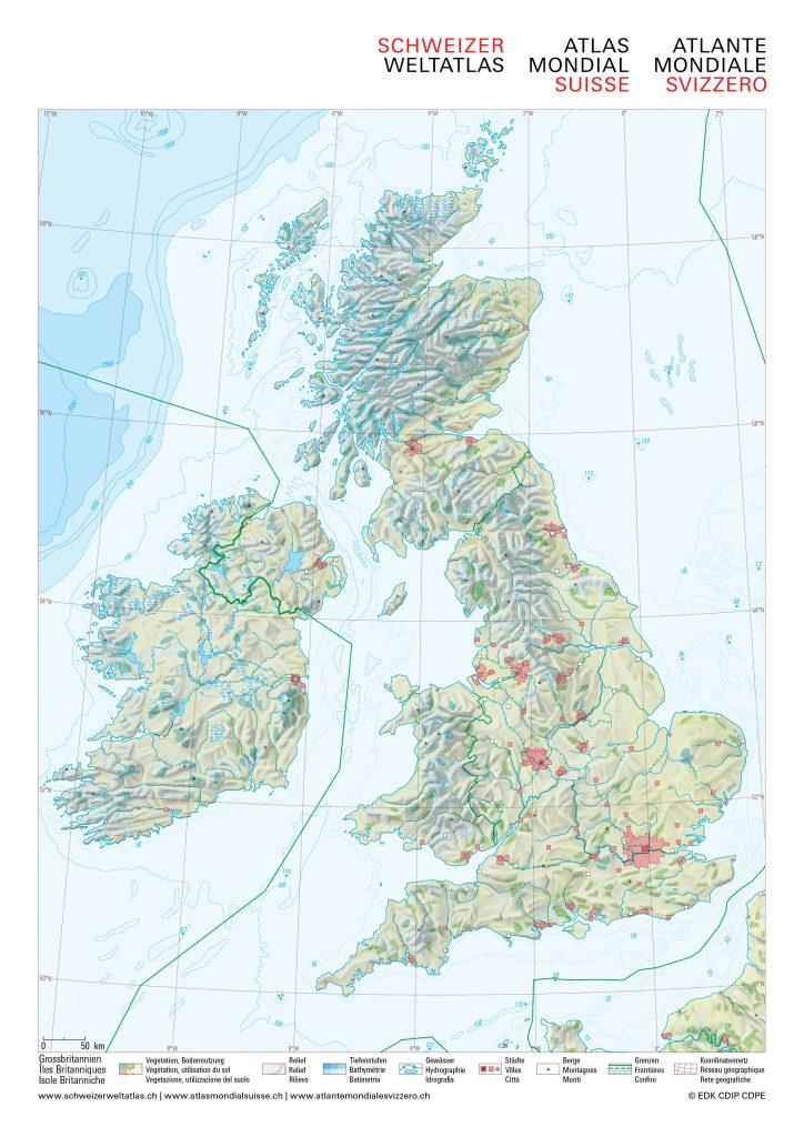
A blank map is a map without any labels or markings. Among other things, it can be used as a basis for recording your own interpretation of geography-related issues.
The blank maps included with the atlas are especially designed for use with the Swiss World Atlas in the classroom. They depict various map layers, such as borders, bodies of water and relief, all of which can be activated and deactivated directly in the PDF document. In addition, the political structure, the topography and the relief of selected geographic spaces are offered for download as JPEG images.
Note: To show and hide layers in the blank maps, we recommend Adobe Acrobat Reader. The required Javascript is not supported in the browser and the Preview on Mac.
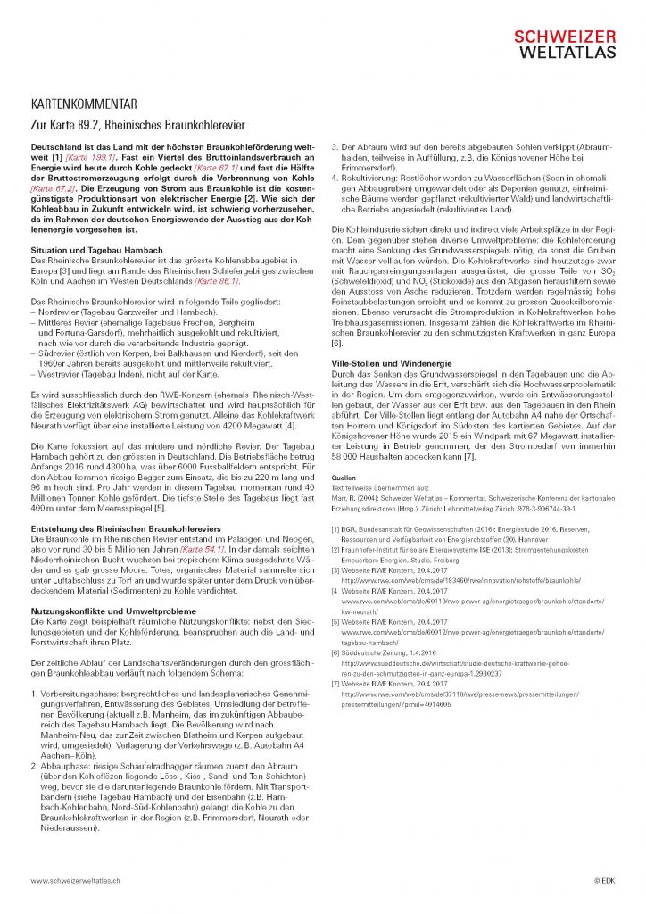
The map commentary is aimed at school students, teaching professionals and all other map enthusiasts. The aim of the commentary is to make the maps more accessible and to provide background information on the area or topic illustrated. The commentary can be used to contrast and compare against the reader’s own conclusions and suppositions. By locating the map within a wider context, the map commentaries help to promote joined-up thinking. References to other maps in the Swiss World Atlas also help to highlight any relevant interdependencies. All map commentaries follow the same structure as the one used in the ‘Map skills and map work’ chapter (pages 22–23) of the Swiss World Atlas:
- Opening credits and introduction to the topic
- Location (where is it?) and features (what is it?)
- Causes and circumstances (why is it there?)
- Influence and effect (what influence does it have?)
- Possible solutions (how can the situation be changed in order to provide mutual benefit?)
- Further information
- Sources
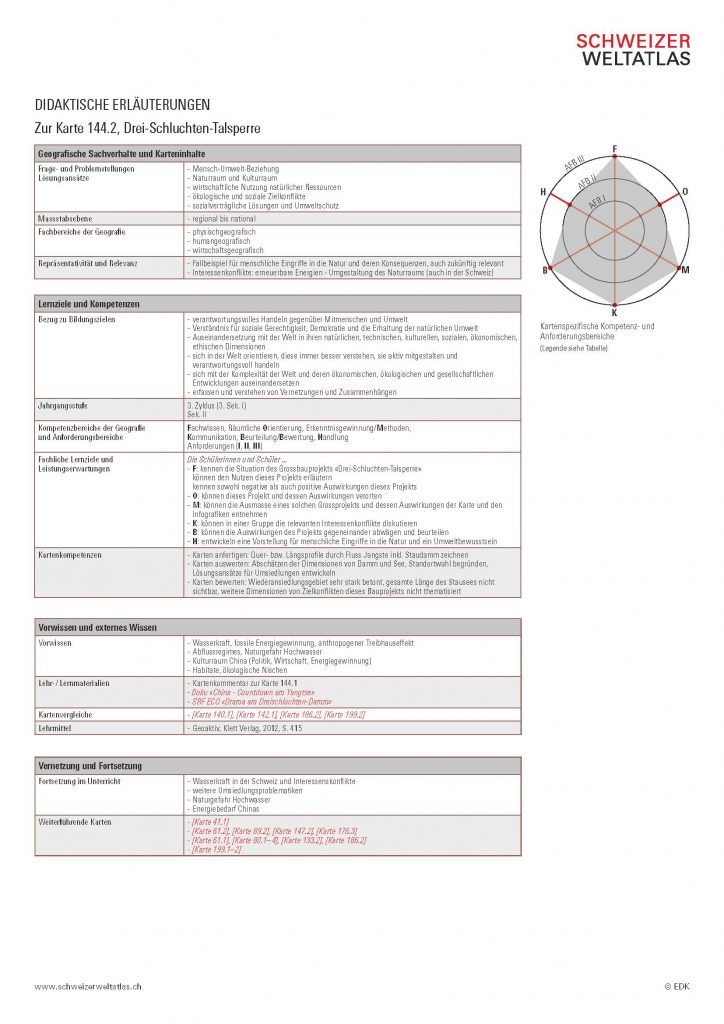
The Swiss World Atlas is a very special kind of teaching aid. Unlike traditional teaching materials, the atlas can be used in a variety of schools and with different age groups. Consequently, its content is not organised by increasing levels of difficulty, but by geographical area and topic. The extent of the geographical information contained in the Swiss World Atlas makes it necessary to classify the individual maps in the didactic-pedagogic system. The didactic explanations included in the atlas are primarily directed towards geography teachers who would like to orientate themselves according to current discourse and paradigms, technical analyses, didactic reduction, learning objectives, skills orientation, and an interdisciplinary approach. The aim is to use the maps in the classroom in such a way that they can meet the requirements of the school curriculum, while also catering to individual students. The didactic notes will also be of interest to all fans of life-long learning who wish to deepen their understanding of the topic and satisfy their curiosity about our planet.
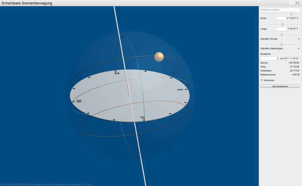
For certain maps and illustrations, the Swiss World Atlas offers interactive tools to supplement the reader’s understanding.
Important notice: the offered interactive tools are supported by the most common modern browsers. The tools are tested with Firefox, Chrome, Safari, Opera and Internet Explorer 9+. Mobile browsers are also supported. Extensions like JavaScript, SVG and CSS should be activated.
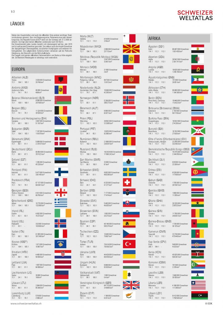
In order to facilitate use of the Swiss World Atlas in the classroom, selected content is clearly summarised for ease of comparison. The materials include import and export charts, climate graphs and an overview of human population density by country.
Website links
This section references relevant information from other sources. These can include links to videos, other maps and other texts
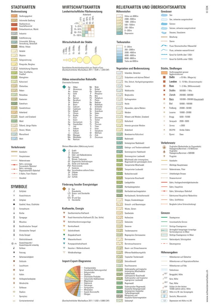
The general key is a vital element of the Swiss World Atlas. It lists all of the map symbols used in the atlas, thus making it easier to read each map.
Amendments and corrections
If any important amendments or corrections are made to the maps, they will be detailed here.
Feedback
The editorial team welcomes feedback, both positive and negative, as well as comments and suggestions regarding specific maps. You can provide feedback both for a specific map or through general contact.


